

In a dramatic escalation that has meteorologists on high alert, Hurricane Melissa has intensified into a Category 5 storm overnight, marking it as the most powerful cyclone of 2025 and one of the strongest ever recorded in the Atlantic basin. With sustained winds clocking in at 175 mph (280 kph) as of early Wednesday, the behemoth weather system is barreling toward the Caribbean’s Leeward Islands, prompting urgent evacuations and emergency declarations across the region.
The National Hurricane Center (NHC) issued its starkest warning yet at 5 a.m. ET, describing Melissa as a “potentially catastrophic” event capable of unleashing devastating storm surges, flash flooding, and destructive winds. “This is not just a storm; it’s a monster,” said NHC Director Dr. Elena Vasquez in a pre-dawn briefing. “Residents in the path must act now—every hour counts.”
Melissa’s rapid intensification—jumping from a tropical depression to a major hurricane in under 48 hours—has been fueled by unusually warm sea surface temperatures in the Atlantic, a byproduct of ongoing climate change patterns. Satellite imagery shows the storm’s eye as a pristine, cloud-free void surrounded by towering thunderheads stretching 400 miles wide, a visual testament to its raw power.
Jamaica, already battered by heavy rains earlier this week, is bracing for the worst. Prime Minister Andrew Holness declared a national state of emergency late Tuesday, mobilizing the Jamaica Defence Force to distribute sandbags and secure coastal communities. “We have seen the fury of nature before, but Melissa’s approach demands our full vigilance,” Holness said in a televised address. Over 100,000 residents in low-lying areas have been ordered to evacuate, with shelters straining under the influx.
Further south, Puerto Rico and the U.S. Virgin Islands are on the periphery of the forecast cone, with officials there activating mutual aid pacts with the mainland. In Florida, Governor Ron DeSantis activated the state’s Emergency Operations Center to Level 1, preparing for potential impacts along the Gulf Coast if Melissa’s path veers northward after crossing the Caribbean. “We’re watching this closely—our thoughts are with our neighbors in the islands, but Florida families need to stay prepared,” DeSantis tweeted.
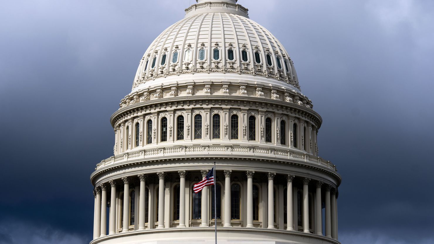
The storm’s timing couldn’t be worse, coinciding with a federal government on the brink of shutdown over stalled budget talks in Washington. Critics, including environmental advocates, have pointed to Melissa as a grim reminder of underfunded disaster preparedness amid partisan gridlock. “While politicians bicker, hurricanes don’t wait for compromise,” said Sierra Club executive director Michael Brune.
As Melissa churns forward at 15 mph, computer models diverge on its long-term track: the European model suggests a possible recurvature into the open Atlantic, sparing the U.S. East Coast, while the American GFS model hints at a riskier northward hook toward the Southeast. Regardless, the NHC urges all coastal residents from the Carolinas to Texas to monitor updates closely.
Global eyes are also on the storm’s ripple effects. Airlines have canceled hundreds of flights out of Miami and San Juan, while shipping routes in the western Atlantic are being rerouted at a cost of millions. Insurance giants like Allianz and Lloyd’s of London are already tallying potential losses in the tens of billions.
For now, the world watches as Melissa lives up to her name—a tempest of biblical proportions that underscores humanity’s fragile dance with the planet’s fury. Updates will follow as the storm makes its fateful landfall, expected by late Thursday.


